About DoC Mapping

We are at the cutting edge of pipe and cable locating technology! Our founding team members have come together to combine their unique skillsets and provide an illustrative depth of cover and mapping representation of underground pipelines and electrical cables.

Expert Service. Exceptional Data. Quality Results.

Pipeline operators and utility companies worldwide are increasingly required to provide positional and depth of cover data for pipelines and cables at locations where they cross bodies of water, sensitive ecological zones, active geologic zones, and utility right-of-ways. Without this data, there is a possibility of recurring regulatory fines. That’s where we come in.

We take a Revolutionary Approach to bring you Unparalleled Results.

DoC Mapping’s innovative approach to buried pipeline and cable mapping is revolutionizing the way that depth of cover surveys are conducted and the manner in which the data is reported. With years of experience, the DoC Mapping team has developed a process that allows these surveys to be completed faster, safer and more accurately than the more traditional methods (i.e. diver jet-probing, sub-bottom profiling and magnetometer readings). Our reduced time on-site results in a lower cost to the operator.

Whether buried in a shipping channel or under a residential neighborhood, DoC Mapping provides a detailed representation of the target infrastructure that is unlike anything previously available. For surveys in waterways, divers are not required, increasing safety and dramatically reducing exposure to liability. For surveys on land, the density of data points is vastly increased, in some cases over 1000-fold.

Integration of top of the line GPS and locating technologies allows all data points to be time-synced and geo-positioned automatically resulting in accuracies that were previously unavailable.

Improved Safety

Safety is job #1 and it encompasses all that we do.

Faster Turnaround

Our time-saving process keeps overall costs low.

Increased Accuracy

We use tech selection and integration to drive results.

Better Data Quality

Innovative methods bring vastly superior results.

We use Collaboration and Innovation to provide Exceptional Results.

DoC Mapping utilizes an extensive network of partners, including locally licensed engineers and land surveyors, throughout the US and Canada. Our partner network allows for smoother operations and assures compliance with local regulations.
Meet Our Team

Get to know the talent who power DoC Mapping
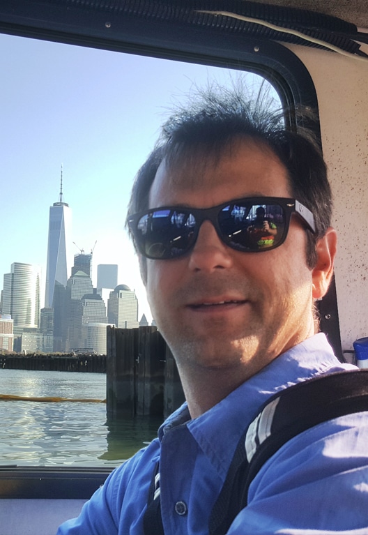
We are a dedicated team of professionals who focus on understanding the complex needs of your project. We bring knowledge, insight and experience to offer comprehensive solutions to your most complex project challenges.
Milton Morris
Milton is President and CEO of DoC Mapping, and one of our founding partners. He has a background in business management and business development of technical and inspection related businesses that spans 15 years. He runs all business related aspects as well as business development. Milton has a special interest in delivering services and products that advance our customers' business with a focus on superior customer service.
MILTON MORRIS

President / CEO

Pete Weber
Pete is one of the founding partners of DoC Mapping. He has a background in geo-sciences, inspection and underwater operations that spans over 20 years. He runs operations and does technical sales for the dredging market as well as special projects. Pete enjoys figuring out solutions to complex problems and always aims to over-deliver.
PETE WEBER

Chief Operations Officer

Noel Nelson
As one of the founding members, Noel is responsible for DoC Mapping's unrivaled data output and visualizations. His background combines graphic design, hydrography and data-analysis program development, all of which contribute to DoC Mapping's "high-quality / fast turn-around" philosophy. Noel is also involved with business development and retention through constant technological process advancement, frequent client interactions, and problem-solving in both broad and detailed situations.
NOEL NELSON

Chief Data Officer

Ben Atchison
Ben's role at DoC Mapping started as a field technician, with an extensive amount of work experience in the midstream sector of DoC Mapping. Ben has used this background to transition into a sales and operations role; understanding how our technologies work and how they can be best utilized makes him a valuable resource in the midstream market. Ben enjoys being outdoors in his free time. When not working, you will most likely find him hunting or fishing.
BEN ATCHISON

Midstream sales / operations officer
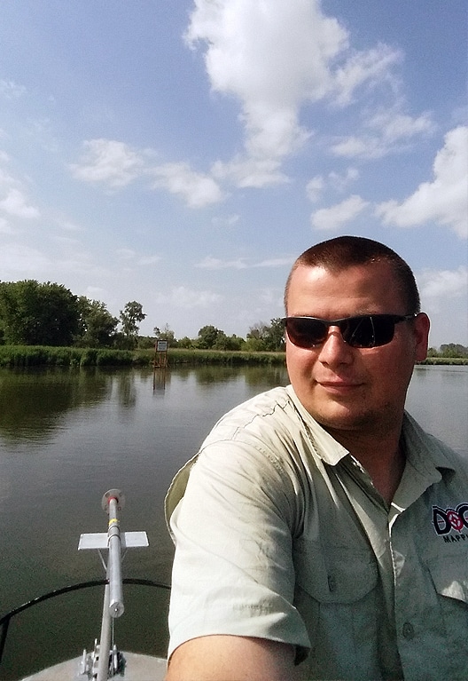
Jan Trienekens
Jan’s primary role at DOC Mapping is as a project manager for large scale multisensor projects, incorporating the entire suite of DoC Mapping's capabilities. When not in the field, Jan works on new equipment projects, including unmanned and autonomous vehicles and equipment improvements. Jan’s background includes a BS in Marine Geology and 13+ years of deep water ROV and internal pipeline inspection. Jan enjoys working with new technologies to provide our customers a new view of their buried infrastructure.
JAN TRIENEKENS

FIELD OPERATIONS LEAD – R&D / TECHNICAL APPLICATIONS
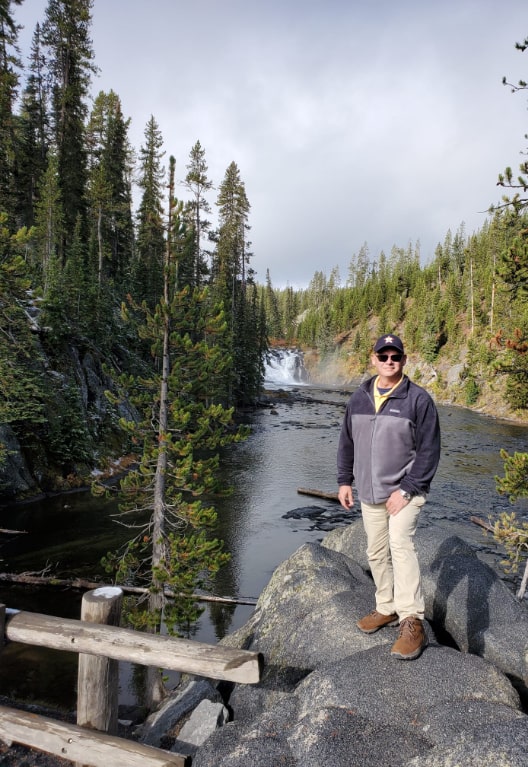
Tim Boyer
Tim joined the DoC Mapping team in June of 2021 to assume the role of Offshore Sales Manager. He began his career as a Party Chief in support of a wide range of offshore and inland survey projects. This field experience has served him well over the last 30 years in his Sales and Marketing positions. Tim has oversight of Business Development and Commercial activities for DoC Mapping’s Offshore Geophysical efforts and is currently merging into a larger role for Inland Survey Sales. Building and maintaining the already strong client base for DoC Mapping is his passion. When not serving as a team member for the company, Tim spends time with his family and friends enjoying the Great Outdoors.
TIM BOYER

Offshore Sales Manager

Madeleine Greene
Madeleine manages DoC Mapping’s team of data specialists and plays an integral role in the strategizing, processing and reporting of all field-acquired data. Madeleine also works closely with the software team to formulate efficient workflows to process large quantities of data efficiently. She believes strongly in the importance of integrity when it comes to data reporting and strives always to be a reliable and transparent source for our clients.
Madeleine Greene

V.P. of Data Operations
Tim Ross
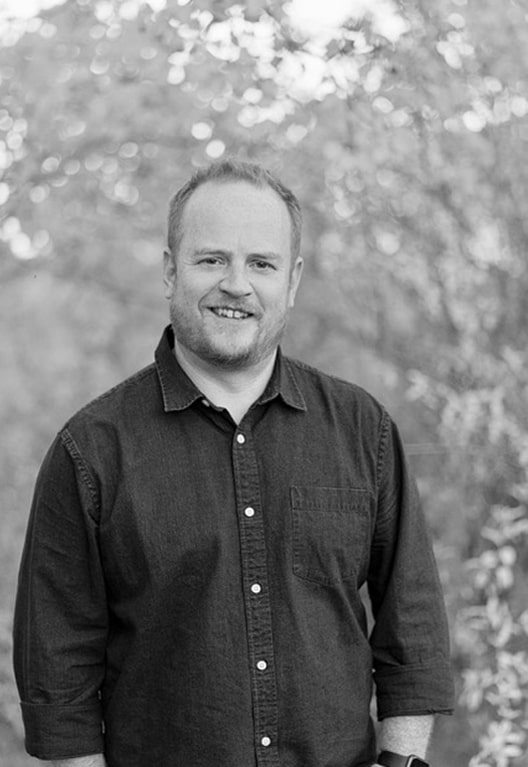
Tim is primarily focused on development and growth for DoC Mapping’s Canadian business unit while supporting business development efforts with US clients wherever he can. Tim has a degree in industrial systems engineering. He has been working in the pipeline integrity space for the past 18 years both locally in North America and around the world. His experience centers around pipeline inspection, both internal and external, as well as corrosion management, and leak detection. Tim is based out of DoC Mapping’s Calgary office in Alberta, Canada.
Tim Ross

V.P. of Canadian Operations

Ralph Coleman
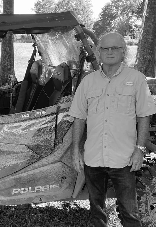
Ralph is a Professional Land Surveyor in the state of Louisiana. He joined DoC Mapping in 2020. He has 39 years of experience in a diverse spectrum of land and offshore survey projects. He began his surveying career in northern Louisiana performing boundary and oil and gas surveys. In 1989, he moved to Lafayette and began working in the offshore survey industry. He then worked his way up to Survey Manager for an international survey company. Ralph enjoys spending his free time with his children and grandchildren as well as camping and ATV riding with his wife and friends.
Ralph Coleman

Survey Manager

Steven Bingham
Steven joined DoC Mapping in March of 2023 and possesses over a decade of experience in geophysical surveys, GIS and CAD. He currently creates GIS, CAD, and their respective deliverables. Steven has a BS from Arkansas Tech University where he specialized in Geography and Geographic Information Systems. When not making maps, Steven enjoys traveling abroad.
Steven Bingham

GIS & CAD Technician

Tony Zolghadri
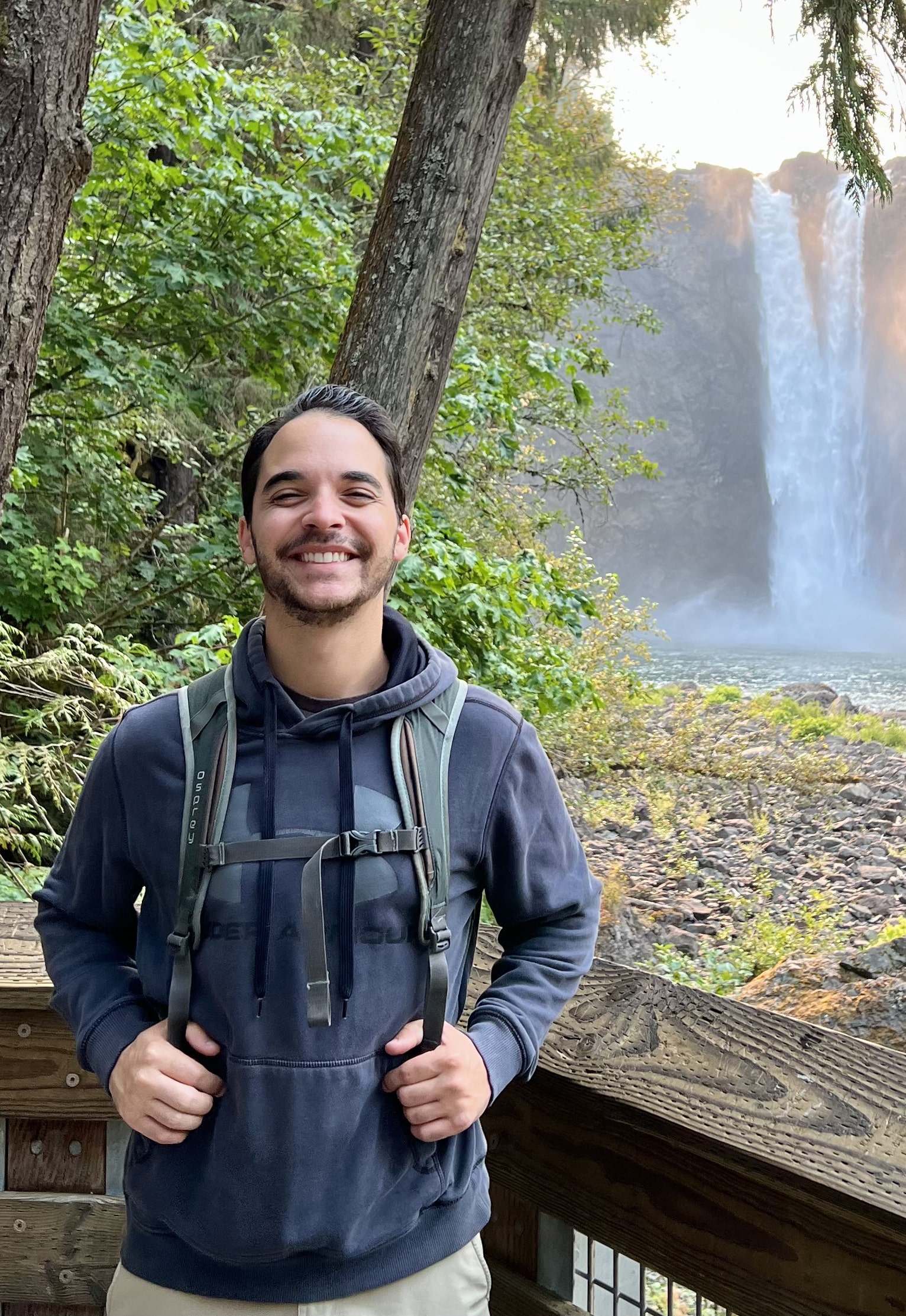
Tony is an integral part of the DoC Mapping team. He contributes as both a data specialist and project manager. As a data specialist, Tony post-processes multi-sensor projects, and produces high-end deliverables for clients. As a project manager, he oversees all pre-project organization within the company which includes scopes of work and frequent client interaction to ensure each study goes smoothly from start to finish. Tony has a BS in Geospatial Sciences and enjoys mountain biking and hiking.
Tony Zolghadri

Data Specialist & Project Manager
Ben O'Shell
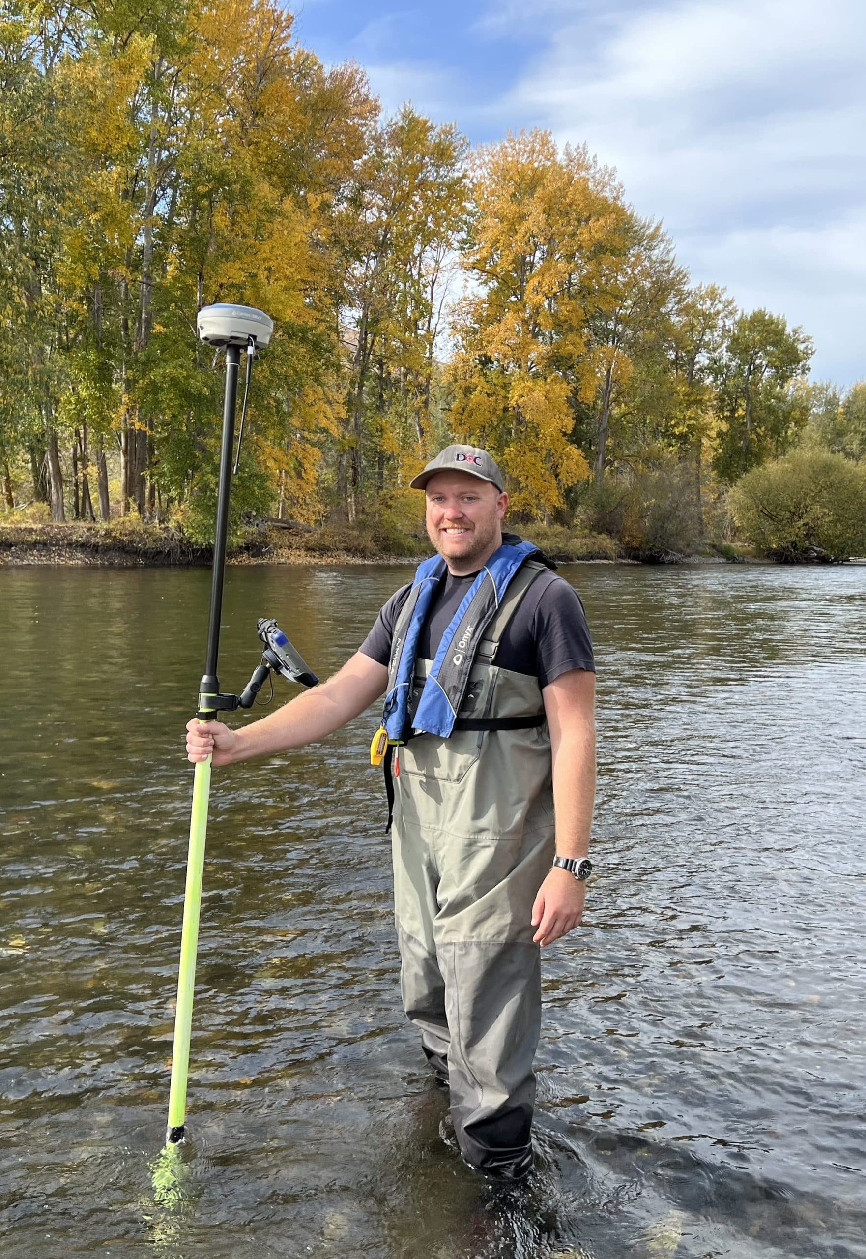
Ben is an Arizona native who graduated from Northern Arizona University in 2019 with a degree in Geographic Sciences. He joined DoC Mapping in 2020 and earned credentials in lidar technology and commercial UAS operations in 2021. Ben is an avid traveler and enjoys working on his truck and camping in his free time.
Ben O’Shell

Field Crew Lead

Tyler McLellan
Tyler graduated with a Master's in Maritime History and Nautical Archaeology from East Carolina University in the spring of 2021; he worked in the industry for over a year interpreting high resolution geophysical data and writing reports for wind farm projects in New England. Tyler joined DoC Mapping in September 2022, where he has become better acquainted with the history and archaeology of the Gulf of Mexico. As a Qualified Marine Archaeologist and Registered Professional Archaeologist, Tyler ensures that all projects and reports meet both state and federal standards for the protection of archaeological resources.
Tyler McLellan

Marine Archaeologist

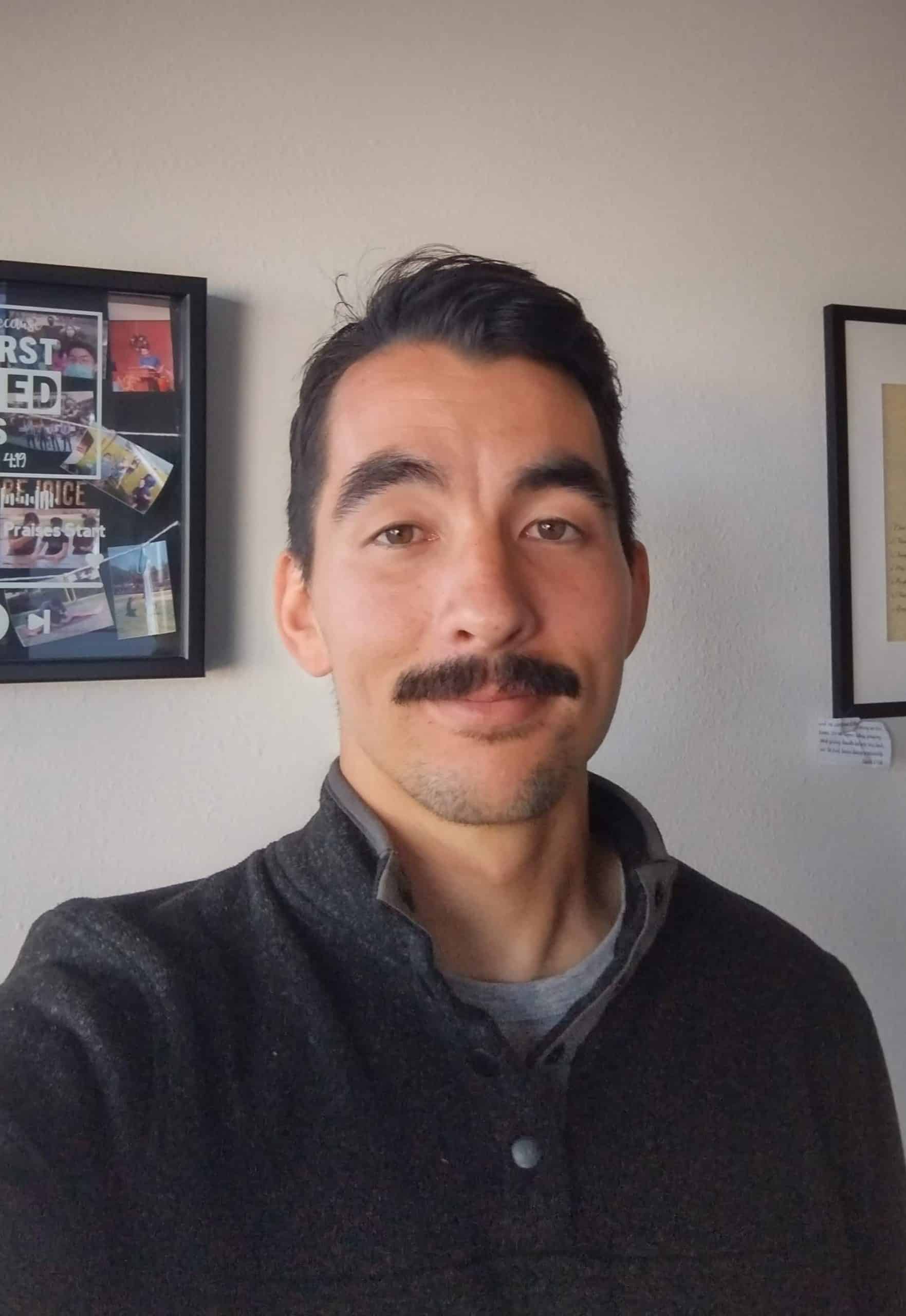
Noah Inada
Noah joined DoC Mapping as an intern in 2016 while attending UCSD. He has become a skilled software developer during his years with DoC Mapping and is a major driving force behind many of DoC Mappings’ innovative workflow processes and database solutions. In his free time, Noah enjoys playing sports and is very active in his church.
Noah Inada

Software Developer

Contact us today about your project!
You need skilled specialists on your side. Let us work with you to get the data you need, quickly and expertly.